Montana’s Musselshell river carries a lot of weight
Map and facts from Montana Fish, Wildlife & Parks
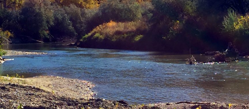
The Musselshell river is without question a central Montana lifeline. The river’s watershed covers approximately 9,500 square miles ans is home to roughly 9,325 residents. The Musselshell River flows from the confluence of the North and South Forks near Martinsdale for 342 miles to Fort Peck Reservoir, providing water for farms,, ranches, and municipalities.
The river is also famous for some of Montana’s best fishing, with a large variety of species that inhabit different stretch of the water respectively. From cold water fish such as trout, to warmer water fish such as Bass and catfish.
Established in the early 2000s, the Musselshell Rover Distribution Project ensures that water from the river is apportioned legally. Four water commissioners, funded by water users, monitor and enforce water rights.
The flood of 2011
The 2011 flooding on the Musselshell River in Montana began in May, affecting large parts of central Montana. At Mosby, Montana, the river crested at 16 feet. The flooding was caused by up to 8 inches (200 mm) of rain combined with spring snowmelt.
The town of Roundup suffered the most damage of any community along the Musselshell. Flood waters along the Musselshell near Roundup were as much as 6 feet, cresting over the weekend. Flooding near Roundup was at least 2 feet above record flood level and forced the evacuation of dozens of homes. At Highway 87 the floodwaters were flowing at over 3,670 cu ft/s, more than 10 times the normal rate. Near the end of May the Musselshell crested near Roundup at 14.16 feet. Its flood stage there is 10 feet. The previous record for that location was set in 1975 at 12.89 feet.
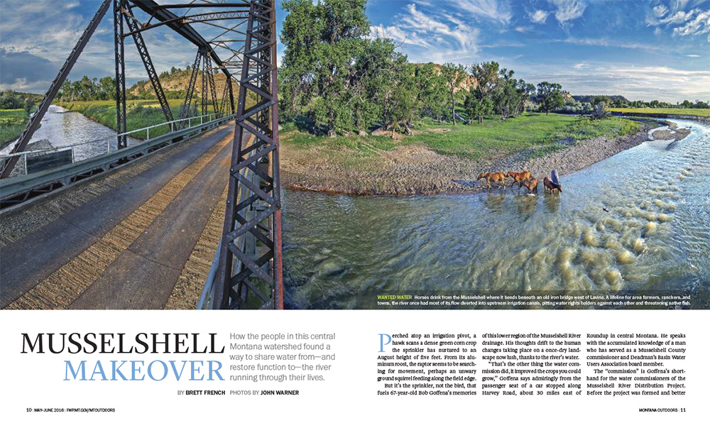
Musselshell Makeover
Download the PDF article featured in Montana Outdoors by Brett French, with Photos from John Warner
Last modified: May 17, 2017

